
1207 S. Bryant Blvd. Suite A
San Angelo, TX 76903
(325) 617-8667
Ingham River Ranch
Price: $2,388,650


-
Sold Properties
-
Located approximately 30 miles west of Ozona, Texas south of US Highway 290 which intersects with Interstate 10. Access is by a county maintained caliche road.
-
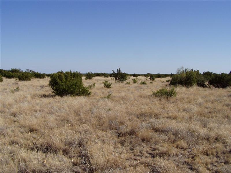
This ranch has approximately 2.6 miles of frontage on the Pecos River which forms the west/southwest boundary of the ranch. The topography consists of gently rolling terrain along the river to rugged hills and scenic canyons. This ranch has spectacular views where you can see for miles. Elevations range from 2,000 feet to 2,663 feet above sea level.
-
Grasses are native and woody plants consist predominately of cedar and mesquite.
-
The ranch is watered by five wells with windmills. These wells are approximately 75 to 600 feet in depth.
-
None
-
Whitetail deer, turkey, blue quail, dove, javelina, bobcat and mountain lion hunting, canoeing and fishing.
-
The ranch is to be conveyed surface only.
All information deemed reliable but not guaranteed and should be independently verified. All properties are subject to prior sale, change or withdrawal.